|
©The Archaeological Settlements of Turkey - TAY Project
|
|
|
|
|
|
Viransehir / Soli (Soloi) Pompeiopolis |
|
|
For site maps and drawings please click on the picture... 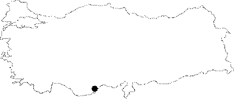 |
For photographs please click on the photo...  |
|
Type:
|
Mound |
|
Altitude:
|
160 m |
|
Region:
|
Mediterranean |
|
Province:
|
Mersin |
|
District:
|
Mezitli |
|
Village:
|
Viransehir |
|
Investigation Method:
|
Excavation |
|
Period:
|
Late |
|
|
|
 |
|
| The mound lies 11 km southwest of Mersin. Quite close to the shore; the mound is located in the antique city of Pompeiopolis. It has a height of 7 m and a diameter of 30 m. Survey has been conducted in 1951 by M.V. Seton-Williams on the mound and sherds dating to periods between Iron Age and Roman Period have been collected from the surface. An EBA depot find; on the other hand has proven the existence of settling in earlier periods. Mellaart has recovered Late Chalcolithic Age sherds in Konya Plain tradition and has published a black matt-paint decorated sherd in buff ware as an example. It is one of the dubious sites for Chalcolithic Ages; requiring further investigation. It takes place in the registered archaeological sites list prepared by Ministry of Culture and Tourism. |
| Location: It is located in the ancient city of Soloi (Soli) Pompeiopolis; Viransehir at present; on the Mediterranean coast; 11 km southwest of the Mersin Province. |
| Geography and Environment: It was named after the ancient city it was located. Soloi/Soli means sun. The mound measures 7 m in height and 30 m in diameter. The latest publication of the excavations started again in the ancient city of Soli/Pompeiopolis refers to the dimensions as 22 m in height and 300 m in diameter. |
| History: |
| Research and Excavation: |
| Stratigraphy: |
| Small Finds: |
| Remains: |
| Interpretation and Dating: |