| ©The Archaeological Settlements of Turkey - TAY Project | ||||||
|
|
||||||
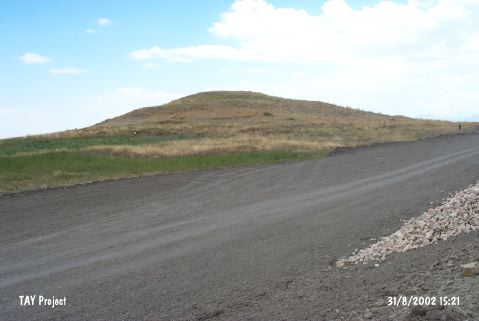
Bagra |
||||||
|
|
||||||
| Ages | Maps | Photos | ||||
| EBA |
 |
 |
||||
|
|
||||||
|
Type:
|
Mound | |||||
|
Altitude:
|
1180 m | |||||
|
Diameter:
|
320 m- Direction: WNW-ESE | |||||
|
|
||||||
|
Region:
|
Central Anatolia | |||||
|
Province:
|
Konya | |||||
|
District:
|
Seydisehir | |||||
|
Village:
|
Gökhöyük | |||||
|
|
||||||
|
Destruction :
|
Contemporary Settlements | |||||
|
|
||||||
|
TAYEx:
|
Visited - 31/8/2002 | |||||
|
|
||||||
|
Registration State:
|
For detailed registration information please refer to Turkish pages. | |||||
 |
||||||
| Location: |
| Geography and Environment: |
| Destruction Details: Northeast skirt of the mound has been cut due to make way for water channel and also being cultivated [TAYEx 31.8.2002]. |