|
©The Archaeological Settlements of Turkey - TAY Project
|
|
|
|
|
|
Bagra |
|
|
For site maps and drawings please click on the picture...  |
For photographs please click on the photo... 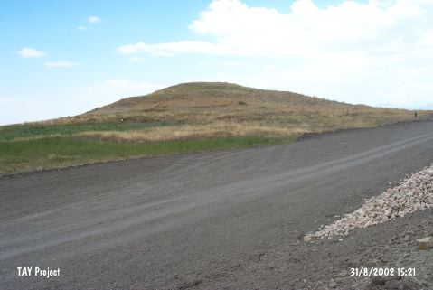 |
|
Type:
|
Mound |
|
Altitude:
|
1180 m |
|
Region:
|
Central Anatolia |
|
Province:
|
Konya |
|
District:
|
Seydisehir |
|
Village:
|
Gökhöyük |
|
Investigation Method:
|
Survey |
|
Period:
|
EBA I EBA II |
|
|
|
 |
|
| It lies north of Seydisehir-Yalihüyük motorway; approximately 4 km east of Gökhöyük Village; southeast of Seydisehir District of Konya Province. Solecki demonstrates this site in his map under the name of Gemli or Büyük Höyük; south of Bagra Village; near the lake in 37 22 9 N and 31 58 7 E latitude and longitude respectively while J. Mellaart who had discovered the mound reported it as located on the northern side of the Çarsamba Stream; further north than Solecki. It is an EBA I-II settlement. |
| Location: |
| Geography and Environment: |
| History: |
| Research and Excavation: |
| Stratigraphy: |
| Small Finds: |
| Remains: |
| Interpretation and Dating: |