| ©The Archaeological Settlements of Turkey - TAY Project | ||||||
|
|
||||||
Üçtepe 3 |
||||||
|
|
||||||
| Ages | Maps | Photos | ||||
| Chalcolithic |
 |
 |
||||
|
|
||||||
|
Type:
|
Mound | |||||
|
Altitude:
|
190 m | |||||
|
Diameter:
|
m- Direction: | |||||
|
|
||||||
|
Region:
|
Mediterranean | |||||
|
Province:
|
Hatay | |||||
|
District:
|
Reyhanli | |||||
|
Village:
|
Üçtepe | |||||
|
|
||||||
|
Destruction :
|
Contemporary Settlements | |||||
|
|
||||||
|
TAYEx:
|
Visited - 16/7/2001 | |||||
|
|
||||||
|
Registration State:
|
Registered For detailed registration information please refer to Turkish pages. | |||||
 |
||||||
| Location: |
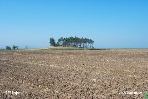
| Geography and Environment: |
| Destruction Details: The biggest hill has been afforested and there is a house on top hill. The northern hill has been cut by road and water reservoir built on northeastern hill. The are where the mounds lie is being cultivated [TAYEx 16.7.2001]. |