|
©The Archaeological Settlements of Turkey - TAY Project
|
|
|
|
|
|
Üçtepe 3 |
|
|
For site maps and drawings please click on the picture...  |
For photographs please click on the photo... 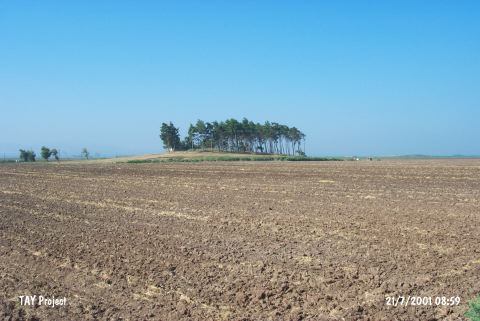 |
|
Type:
|
Mound |
|
Altitude:
|
190 m |
|
Region:
|
Mediterranean |
|
Province:
|
Hatay |
|
District:
|
Reyhanli |
|
Village:
|
Üçtepe |
|
Investigation Method:
|
Survey |
|
Period:
|
|
|
|
|
 |
|
| The mound lies east of Üçtepe Village; northeast of Hatay Province; east of Amuq lake; on the north bank of Kizilark stream; close to Turkey-Syria border. South of the mound lies the site of Putoglu and east-southeast Çatalhöyük. The site consists of three mounds in a line and each is thought to withhold a settlement from a different horizon depending on the surface finds. It is discovered during the 1936 survey conducted by R.J. Braidwood in the region. Chalcolithic Age finds are collected from the surface of the southwestern mound which is numbered "3" to avoid any misunderstanding. It takes place in the registered archaeological sites list prepared by Ministry of Culture and Tourism. |
| Location: |
| Geography and Environment: |
| History: |
| Research and Excavation: |
| Stratigraphy: |
| Small Finds: |
| Remains: |
| Interpretation and Dating: |