| ©The Archaeological Settlements of Turkey - TAY Project | ||||||
|
|
||||||
Tille |
||||||
|
|
||||||
| Ages | Maps | Photos | ||||
| Chalcolithic EBA IA |
 |
 |
||||
|
|
||||||
|
Type:
|
Mound | |||||
|
Altitude:
|
470 m | |||||
|
Diameter:
|
m- Direction: | |||||
|
|
||||||
|
Region:
|
Southeastern Anatolia | |||||
|
Province:
|
Adiyaman | |||||
|
District:
|
Kahta | |||||
|
Village:
|
Geldibuldu | |||||
|
|
||||||
|
Destruction :
|
Dams | |||||
|
|
||||||
|
TAYEx:
|
Not visited - 29/8/2001 | |||||
|
|
||||||
|
Registration State:
|
For detailed registration information please refer to Turkish pages. | |||||
 |
||||||
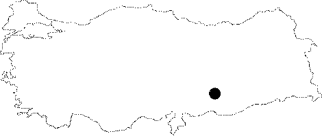
| Location: Tille Höyük is situated on the western of the Euphrates River, east of Adiyaman, near the spot where a modern road passes over the river [Summers 1998:399]. It has been occupied by a modern village called Geldibuldu (Tille) at present. It is a small village with 17 houses on the east, west and south slopes of the mound, 30 km east of Kahta, north of the Urfa-Diyarbakir motorway [Moore 1993:199]. |
| Geography and Environment: While somewhat high and steep mountains to the north of Tille separates Adiyaman from the Malatya Region, the Euphrates River runs through deep rocks down in the valley. In a similar way, the river runs through high rocks in the south till it reaches the plain at Samsat Region [Summers 1998:399]. The mound lies on a narrow and deep bank composed by a stream spilling into the Euphrates River. Including the eastern terrace, it covers an area of 200x140 m. It reaches up to a height of 26 m above the plain level. The base diameter of the mound's conical section is approximately 130 m, and before the excavations, the flat hill was measured around 40x33 m [Moore 1993:199]. |
| Destruction Details: The site is flooded by dam reservoir today [TAYEx 29.8.2001]. |