|
©The Archaeological Settlements of Turkey - TAY Project
|
|
|
|
|
|
Tille |
|
|
For site maps and drawings please click on the picture... 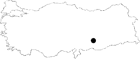 |
For photographs please click on the photo...  |
|
Type:
|
Mound |
|
Altitude:
|
470 m |
|
Region:
|
Southeastern Anatolia |
|
Province:
|
Adiyaman |
|
District:
|
Kahta |
|
Village:
|
Geldibuldu |
|
Investigation Method:
|
Excavation |
|
Period:
|
Late |
|
|
|
 |
|
| The mound lies east of Adiyaman; on the west bank of Euphrates; just north of Geldibuldu (Tille) village. It is discovered during the 1977 survey for the investigation of sites that are to be inundated by Karakaya Dam and is inundated today. The mound had a height of 26 m with a cone and measured 200x150 m. The top of the cone was flat. Following the survey during which finds dating to various horizons were collected from the surface; a salvage excavation had started in 1979 by D.H. French. The Chalcolithic Age sherds are in dark faced burnished and non-burnished wares and in chaff-faced ware. The mound is partially destructed by a road passing close by. The location code is S 52 / 11. |
| Location: Tille Höyük is situated on the western of the Euphrates River, east of Adiyaman, near the spot where a modern road passes over the river [Summers 1998:399]. It has been occupied by a modern village called Geldibuldu (Tille) at present. It is a small village with 17 houses on the east, west and south slopes of the mound, 30 km east of Kahta, north of the Urfa-Diyarbakir motorway [Moore 1993:199]. |
| Geography and Environment: While somewhat high and steep mountains to the north of Tille separates Adiyaman from the Malatya Region, the Euphrates River runs through deep rocks down in the valley. In a similar way, the river runs through high rocks in the south till it reaches the plain at Samsat Region [Summers 1998:399]. The mound lies on a narrow and deep bank composed by a stream spilling into the Euphrates River. Including the eastern terrace, it covers an area of 200x140 m. It reaches up to a height of 26 m above the plain level. The base diameter of the mound's conical section is approximately 130 m, and before the excavations, the flat hill was measured around 40x33 m [Moore 1993:199]. |
| History: |
| Research and Excavation: |
| Stratigraphy: |
| Small Finds: |
| Remains: |
| Interpretation and Dating: |