| ©The Archaeological Settlements of Turkey - TAY Project | ||||||
|
|
||||||
Tavuk Çay |
||||||
|
|
||||||
| Ages | Maps | Photos | ||||
| Neolithic |
 |
 |
||||
|
|
||||||
|
Type:
|
Flat Settlement | |||||
|
Altitude:
|
390 m | |||||
|
Diameter:
|
m- Direction: | |||||
|
|
||||||
|
Region:
|
Southeastern Anatolia | |||||
|
Province:
|
Sanliurfa | |||||
|
District:
|
Ovacik | |||||
|
Village:
|
Tavuk | |||||
|
|
||||||
|
Destruction :
|
Dams | |||||
|
|
||||||
|
TAYEx:
|
Not visited - 4/9/2001 | |||||
|
|
||||||
|
Registration State:
|
For detailed registration information please refer to Turkish pages. | |||||
 |
||||||
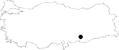
| Location: This site lies northwest of the city of Sanliurfa; west of both the town of Ovacik and the village of Titris (old Hasanik). Although the site was given no name in Algaze's publication [Algaze et al.1992:41]; we have decided to call it Tavuk Çay to avoid confusion. |
| Geography and Environment: The site; located on the southern bank of Tavuk Çay Stream; was labeled site 23 by the researchers. This stream used to empty into the Euphrates but now feeds the Atatürk Dam Lake. Tavuk Çay is an important stream since it is fed by powerful springs and because it lies on the east-west route that leads to Samsat. The area is rich; especially in flint resources. The site size is not reported. |
| Destruction Details: The site is flooded by dam reservoir today [TAYEx 4.9.2001]. |