|
©The Archaeological Settlements of Turkey - TAY Project
|
|
|
|
|
|
Tavuk Çay |
|
|
For site maps and drawings please click on the picture... 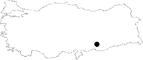 |
For photographs please click on the photo...  |
|
Type:
|
Flat Settlement |
|
Altitude:
|
390 m |
|
Region:
|
Southeastern Anatolia |
|
Province:
|
Sanliurfa |
|
District:
|
Ovacik |
|
Village:
|
Tavuk |
|
Investigation Method:
|
Survey |
|
Period:
|
Ceramic |
|
|
|
 |
|
| Location: This site lies northwest of the city of Sanliurfa; west of both the town of Ovacik and the village of Titris (old Hasanik). Although the site was given no name in Algaze's publication [Algaze et al.1992:41]; we have decided to call it Tavuk Çay to avoid confusion. |
| Geography and Environment: The site; located on the southern bank of Tavuk Çay Stream; was labeled site 23 by the researchers. This stream used to empty into the Euphrates but now feeds the Atatürk Dam Lake. Tavuk Çay is an important stream since it is fed by powerful springs and because it lies on the east-west route that leads to Samsat. The area is rich; especially in flint resources. The site size is not reported. |
| History: |
| Research and Excavation: The Titris excavation team discovered the site in 1991 during a survey they conducted approximately 7.5 km around the mound of Titris. |
| Stratigraphy: The stratigraphy of the site is not known because no excavation was conducted. |
| Small Finds: The surface survey at the site yielded marble bowls and rough coarse handled ceramic fragments. No detailed information has been provided on the finds. |
| Remains: |
| Interpretation and Dating: The researchers believe that the finds collected from this site characteristically resemble Kumartepe material and assign the site to the Late Neolithic. |