| ©The Archaeological Settlements of Turkey - TAY Project | ||||||
|
|
||||||
Tatar Mezarligi |
||||||
|
|
||||||
| Ages | Maps | Photos | ||||
| Chalcolithic EBA |
 |
 |
||||
|
|
||||||
|
Type:
|
Flat Settlement | |||||
|
Altitude:
|
28 m | |||||
|
Diameter:
|
m- Direction: | |||||
|
|
||||||
|
Region:
|
Marmara | |||||
|
Province:
|
Kirklareli | |||||
|
District:
|
Babaeski | |||||
|
Village:
|
Oruçlu | |||||
|
|
||||||
|
Destruction :
|
Agriculture | |||||
|
|
||||||
|
TAYEx:
|
Visited - 12/6/2000 | |||||
|
|
||||||
|
Registration State:
|
For detailed registration information please refer to Turkish pages. | |||||
 |
||||||
| Location: |
| Geography and Environment: |
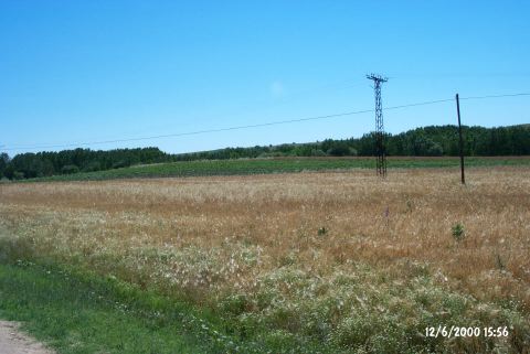
| Destruction Details: The settlement is being cultivated and its surface has been cut to make way for fields. Irrigation channels were passed through the field on the eastern section [TAYEx 12.6.2000]. |