|
©The Archaeological Settlements of Turkey - TAY Project
|
|
|
|
|
|
Tatar Mezarligi |
|
|
For site maps and drawings please click on the picture...  |
For photographs please click on the photo... 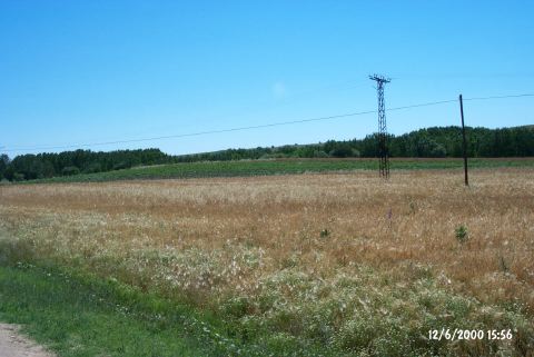 |
|
Type:
|
Flat Settlement |
|
Altitude:
|
28 m |
|
Region:
|
Marmara |
|
Province:
|
Kirklareli |
|
District:
|
Babaeski |
|
Village:
|
Oruçlu |
|
Investigation Method:
|
Survey |
|
Period:
|
Late |
|
|
|
 |
|
| The site lies southwest of Kirklareli; approximately 1.5 km north of Oruçlu village; about 6 km from Karacaoglan village; on the road from Karacaoglan village to Oruçlu village; and on the east bank of Çimenli stream. Western and northwestern parts are covered with trees. The settlement measures 210 m in north-south and 130 m in east-west directions. The sherds collected from the surface date to Late Chalcolithic Age; contemporary with Meriç-Pre-Cucuteni horizon that corresponds to the beginning of the 4th Millennium BC. |
| Location: |
| Geography and Environment: |
| History: |
| Research and Excavation: |
| Stratigraphy: |
| Small Finds: |
| Remains: |
| Interpretation and Dating: |