| ©The Archaeological Settlements of Turkey - TAY Project | ||||||
|
|
||||||
Suvermez |
||||||
|
|
||||||
| Ages | Maps | Photos | ||||
| Palaeolithic/Epipalaeolithic |
 |
 |
||||
|
|
||||||
|
Type:
|
Single Findspot | |||||
|
Altitude:
|
1310 m | |||||
|
Diameter:
|
m- Direction: | |||||
|
|
||||||
|
Region:
|
Central Anatolia | |||||
|
Province:
|
Nevsehir | |||||
|
District:
|
Derinkuyu | |||||
|
Village:
|
Suvermez | |||||
|
|
||||||
|
|
||||||
|
|
||||||
|
TAYEx:
|
Visited - 5/8/2002 | |||||
|
|
||||||
|
Registration State:
|
For detailed registration information please refer to Turkish pages. | |||||
 |
||||||
| Location: This site is located in the village of Suvermez; which is approximately 8 km west of the town of Derinkuyu; 30 km south-southwest of the city of Nevsehir. A more exact location of the site in the village has not been provided. |
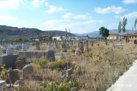
| Geography and Environment: The village of Suvermez lies on the plain this site is located on. The obsidian outcrops at Kömürcü and Kayirli explain why obsidian was the preferred raw material for chipped stone tools in the Palaeolithic. |
| Destruction Details: |