|
©The Archaeological Settlements of Turkey - TAY Project
|
|
|
|
|
|
Suvermez |
|
|
For site maps and drawings please click on the picture... 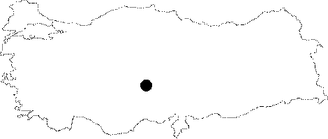 |
For photographs please click on the photo... 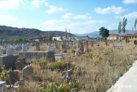 |
|
Type:
|
Single Findspot |
|
Altitude:
|
1310 m |
|
Region:
|
Central Anatolia |
|
Province:
|
Nevsehir |
|
District:
|
Derinkuyu |
|
Village:
|
Suvermez |
|
Investigation Method:
|
Survey |
|
Period:
|
OP |
|
|
|
 |
|
| Location: This site is located in the village of Suvermez; which is approximately 8 km west of the town of Derinkuyu; 30 km south-southwest of the city of Nevsehir. A more exact location of the site in the village has not been provided. |
| Geography and Environment: The village of Suvermez lies on the plain this site is located on. The obsidian outcrops at Kömürcü and Kayirli explain why obsidian was the preferred raw material for chipped stone tools in the Palaeolithic. |
| History: |
| Research and Excavation: This site was discovered in 1944 by Hasdemir; an amateur researcher and student of archaeology from Ankara University DTCF; Department of Archaeology who found chipped stone tools around the village of Suvermez. |
| Stratigraphy: |
| Small Finds: Hasdemir's survey yielded 6 obsidian flakes identified as scrapers and scraper-points by Sevket Aziz Kansu. Although Kansu does not describe the characteristics of these tools; he reports that they were removed using Levallois technique and assigns them to the Middle Palaeolithic [Kansu 1945:fig.3; 1-12]. |
| Remains: |
| Interpretation and Dating: |