| ©The Archaeological Settlements of Turkey - TAY Project | ||||||
|
|
||||||
Sulucatepe |
||||||
|
|
||||||
| Ages | Maps | Photos | ||||
| Chalcolithic EBA |
 |
 |
||||
|
|
||||||
|
Type:
|
Mound | |||||
|
Altitude:
|
1085 m | |||||
|
Diameter:
|
135 m- Direction: SSE-NNW | |||||
|
|
||||||
|
Region:
|
Central Anatolia | |||||
|
Province:
|
Kirikkale | |||||
|
District:
|
Keskin | |||||
|
Village:
|
Cinali | |||||
|
|
||||||
|
Destruction :
|
Highways, roads, bridges etc. | |||||
|
|
||||||
|
TAYEx:
|
Visited - 9/7/2002 | |||||
|
|
||||||
|
Registration State:
|
For detailed registration information please refer to Turkish pages. | |||||
 |
||||||
| Location: |
| Geography and Environment: |
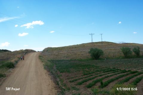
| Destruction Details: The southern skirt of the mound has been cut by Cinali-Keskin road; there is an illicit digging pit on northeast slope and and electricity pole on top [TAYEx 9.7.2002]. |