|
©The Archaeological Settlements of Turkey - TAY Project
|
|
|
|
|
|
Sulucatepe |
|
|
For site maps and drawings please click on the picture...  |
For photographs please click on the photo... 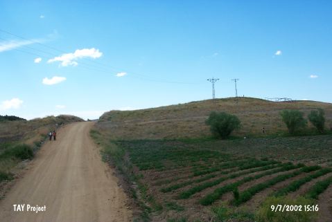 |
|
Type:
|
Mound |
|
Altitude:
|
1085 m |
|
Region:
|
Central Anatolia |
|
Province:
|
Kirikkale |
|
District:
|
Keskin |
|
Village:
|
Cinali |
|
Investigation Method:
|
Survey |
|
Period:
|
|
|
|
|
 |
|
| The mound lies at Suluca Mevkii; 1.5 km northwest of Çinali village; southeast of Keskin and Kirikkale. Cinali-Keskin road cuts the southern skirt of the mound. It has a height of 7 m and a diameter of 100 m. It is discovered during the regional survey in 1990 by Kaman Kale Höyük Excavation Team conducted by S. Omura. The surface sherds date to Chalcolithic Age; EBA; MBA; LBA; and Classical Period. Finds have proven multi-stratified settlement on the mound. |
| Location: |
| Geography and Environment: |
| History: |
| Research and Excavation: |
| Stratigraphy: |
| Small Finds: |
| Remains: |
| Interpretation and Dating: |