| ©The Archaeological Settlements of Turkey - TAY Project | ||||||
|
|
||||||
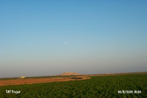
Sultantepe |
||||||
|
|
||||||
| Ages | Maps | Photos | ||||
| Chalcolithic EBA IA |
 |
 |
||||
|
|
||||||
|
Type:
|
Mound | |||||
|
Altitude:
|
480 m | |||||
|
Diameter:
|
m- Direction: | |||||
|
|
||||||
|
Region:
|
Southeastern Anatolia | |||||
|
Province:
|
Sanliurfa | |||||
|
District:
|
Merkez | |||||
|
Village:
|
Sultan | |||||
|
|
||||||
|
Destruction :
|
Natural causes - Contemporary Settlements | |||||
|
|
||||||
|
TAYEx:
|
Visited - 30/8/2001 | |||||
|
|
||||||
|
Registration State:
|
Registered For detailed registration information please refer to Turkish pages. | |||||
 |
||||||
| Location: |
| Geography and Environment: |
| Destruction Details: There is erosion on the mound caused by the water reservoir on top. There is cemetery on west skirt and village houses on northeast skirt of the mound [TAYEx 30.8.2001]. |