| ©The Archaeological Settlements of Turkey - TAY Project | ||||||
|
|
||||||
Avcili / Çöbeli |
||||||
|
|
||||||
| Ages | Maps | Photos | ||||
| EBA |
 |
 |
||||
|
|
||||||
|
Type:
|
Mound | |||||
|
Altitude:
|
1000 m | |||||
|
Diameter:
|
168 m- Direction: E-W | |||||
|
|
||||||
|
Region:
|
Eastern Anatolia | |||||
|
Province:
|
Elazig | |||||
|
District:
|
Merkez | |||||
|
Village:
|
Avcili | |||||
|
|
||||||
|
Destruction :
|
Illicit Digging - Agriculture - Highways, roads, bridges etc. | |||||
|
|
||||||
|
TAYEx:
|
Visited - 14/7/2003 | |||||
|
|
||||||
|
Registration State:
|
For detailed registration information please refer to Turkish pages. | |||||
 |
||||||
| Location: |
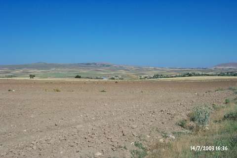
| Geography and Environment: |
| Destruction Details: There is an illicit digging pit measuring 1x3 m on top hill. Southeast skirt is cut by a dirt road. Northwest of the mound is cultivated and there is an other pit on the slope [TAYEx 14.7.2003]. |