|
©The Archaeological Settlements of Turkey - TAY Project
|
|
|
|
|
|
Solteni Magarasi |
|
|
For site maps and drawings please click on the picture... 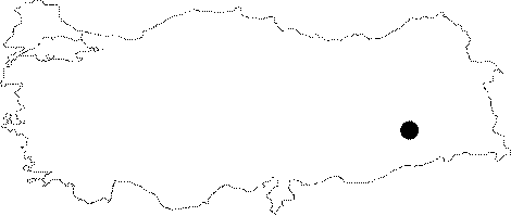 |
For photographs please click on the photo...  |
|
Type:
|
Cave |
|
Altitude:
|
m |
|
Region:
|
Southeastern Anatolia |
|
Province:
|
Diyarbakir |
|
District:
|
Silvan |
|
Village:
|
Kazandagi |
|
Investigation Method:
|
Survey |
|
Period:
|
AP OP |
|
|
|
 |
|
| Location: This cave-site is north of the city of Diyarbakir; 9 km northwest of the Batman Dam. It is located on the cliff almost exactly across from the Malaliki rock-shelter; on the western bank of one of the southwestern streams feeding the Ramdenka Stream; by the village of Hokan. |
| Geography and Environment: Rosenberg has not reported what the dimensions of this cave are. We are informed that this site is not as important as the Malaliki rock-shelter. |
| History: |
| Research and Excavation: This cave-site was discovered by M. Rosenberg in 1990 during the Southeast Anatolian Project where he conducted a surface survey of the region expected to be flooded by the Batman Dam Lake and by other dams to be built on the Tigris. |
| Stratigraphy: |
| Small Finds: No information is provided on the finds the cave yielded; although the site has been assigned to the Middle Palaeolithic along with other Palaeolithic sites in the area. |
| Remains: |
| Interpretation and Dating: |