| ©The Archaeological Settlements of Turkey - TAY Project | ||||||
|
|
||||||
Siktirma |
||||||
|
|
||||||
| Ages | Maps | Photos | ||||
| EBA |
 |
 |
||||
|
|
||||||
|
Type:
|
Mound | |||||
|
Altitude:
|
840 m | |||||
|
Diameter:
|
m- Direction: | |||||
|
|
||||||
|
Region:
|
Aegean | |||||
|
Province:
|
Usak | |||||
|
District:
|
Sivasli | |||||
|
Village:
|
Dedeballar | |||||
|
|
||||||
|
Destruction :
|
Agriculture | |||||
|
|
||||||
|
TAYEx:
|
Visited - 1/10/2000 | |||||
|
|
||||||
|
Registration State:
|
For detailed registration information please refer to Turkish pages. | |||||
 |
||||||
| Location: |
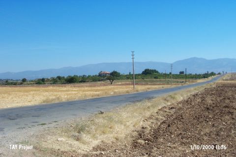
| Geography and Environment: |
| Destruction Details: The mound was leveled due to agricultural activities and can be seen as a slight elevation on the motorway [TAYEx 1.10.2000]. |