|
©The Archaeological Settlements of Turkey - TAY Project
|
|
|
|
|
|
Siktirma |
|
|
For site maps and drawings please click on the picture...  |
For photographs please click on the photo... 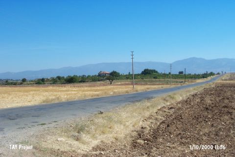 |
|
Type:
|
Mound |
|
Altitude:
|
840 m |
|
Region:
|
Aegean |
|
Province:
|
Usak |
|
District:
|
Sivasli |
|
Village:
|
Dedeballar |
|
Investigation Method:
|
Survey |
|
Period:
|
|
|
|
|
 |
|
| It lies between Dedeballar and Yayalar Villages; 1 km east of Yayalar; about 6 km southwest of Sivasli District; southeast of Usak Province. It was discovered in 1966 during the regional surveys conducted by N. Firatli and U. Esin while excavating Selçikler (ancient city of Sebeste). Materials of the EBA and the second millennium BC were collected from the surface. The site is locally known as Siktirma. |
| Location: |
| Geography and Environment: |
| History: |
| Research and Excavation: |
| Stratigraphy: |
| Small Finds: |
| Remains: |
| Interpretation and Dating: |