| ©The Archaeological Settlements of Turkey - TAY Project | ||||||
|
|
||||||
Sardis |
||||||
|
|
||||||
| Ages | Maps | Photos | ||||
| EBA IA |
 |
 |
||||
|
|
||||||
|
Type:
|
Flat Settlement | |||||
|
Altitude:
|
100 m | |||||
|
Diameter:
|
m- Direction: | |||||
|
|
||||||
|
Region:
|
Aegean | |||||
|
Province:
|
Manisa | |||||
|
District:
|
Salihli | |||||
|
Village:
|
Sardmustafa | |||||
|
|
||||||
|
|
||||||
|
|
||||||
|
TAYEx:
|
Visited - 16/9/2000 | |||||
|
|
||||||
|
Registration State:
|
For detailed registration information please refer to Turkish pages. | |||||
 |
||||||
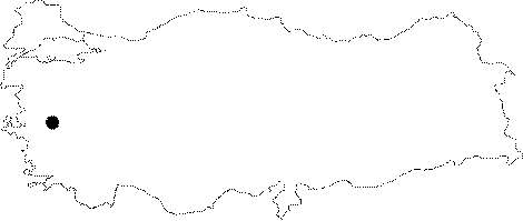
| Location: It is situated on the Izmir-Ankara motorway to the south of the Ahmetli District, 9 km west of the Salihli District in Manisa. |
| Geography and Environment: It was founded on and around a hill on the northern skirt of the Mount Bozdag (Tmolus) in the Pactolus (Sart) Brook Valley in the Gediz (Hermus) Plain. The acropolis section is 400 m high above the plain level [Umar 2001:62-65]. |
| Destruction Details: |