|
©The Archaeological Settlements of Turkey - TAY Project
|
|
|
|
|
|
Sardis |
|
|
For site maps and drawings please click on the picture... 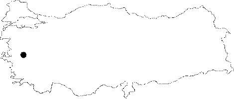 |
For photographs please click on the photo...  |
|
Type:
|
Flat Settlement |
|
Altitude:
|
100 m |
|
Region:
|
Aegean |
|
Province:
|
Manisa |
|
District:
|
Salihli |
|
Village:
|
Sardmustafa |
|
Investigation Method:
|
Excavation |
|
Period:
|
|
|
|
|
 |
|
| It is located to the south of the district of Ahmetli in the province of Manisa. Excavations were carried out by a team led by C.H. Greenewalt between the years 1977 and 2007. Since 2008, N.D. Cahill has been leading the excavations at Sardis. In the 1983 field season; pottery of EBA type was recovered in two areas. The sherds were found in Iron Age contexts; but according to their good condition and large size; it is suggested that their original context should be in the near vicinity. The examined materials were dated to ca. 3000-2000 BC. Based on this fact; it is believed that Sardis can be dated to a millennium before the date suggested for the earliest settlement. |
| Location: It is situated on the Izmir-Ankara motorway to the south of the Ahmetli District, 9 km west of the Salihli District in Manisa. |
| Geography and Environment: It was founded on and around a hill on the northern skirt of the Mount Bozdag (Tmolus) in the Pactolus (Sart) Brook Valley in the Gediz (Hermus) Plain. The acropolis section is 400 m high above the plain level [Umar 2001:62-65]. |
| History: |
| Research and Excavation: |
| Stratigraphy: |
| Small Finds: |
| Remains: |
| Interpretation and Dating: |