| ©The Archaeological Settlements of Turkey - TAY Project | ||||||
|
|
||||||
Saraçköy |
||||||
|
|
||||||
| Ages | Maps | Photos | ||||
| EBA |
 |
 |
||||
|
|
||||||
|
Type:
|
Mound | |||||
|
Altitude:
|
160 m | |||||
|
Diameter:
|
m- Direction: | |||||
|
|
||||||
|
Region:
|
Marmara | |||||
|
Province:
|
Balikesir | |||||
|
District:
|
Merkez | |||||
|
Village:
|
Saraçköy | |||||
|
|
||||||
|
Destruction :
|
Agriculture - Contemporary Settlements - Highways, roads, bridges etc. | |||||
|
|
||||||
|
TAYEx:
|
Visited - 28/6/2000 | |||||
|
|
||||||
|
Registration State:
|
For detailed registration information please refer to Turkish pages. | |||||
 |
||||||
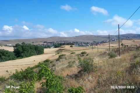
| Location: |
| Geography and Environment: |
| Destruction Details: There are houses built over the mound. The destruction will probably become more serious because of the fact that the settlement is expanding outside the village. The areas around the buildings are being planted. An asphalt road passes over the skirt of the settlement [TAYEx 28.6.2000]. |