|
©The Archaeological Settlements of Turkey - TAY Project
|
|
|
|
|
|
Saraçköy |
|
|
For site maps and drawings please click on the picture...  |
For photographs please click on the photo... 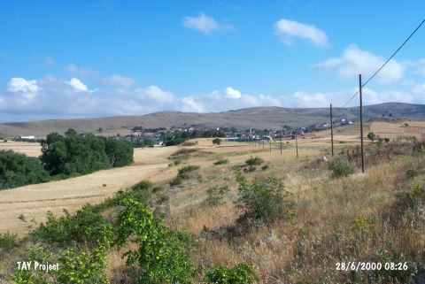 |
|
Type:
|
Mound |
|
Altitude:
|
160 m |
|
Region:
|
Marmara |
|
Province:
|
Balikesir |
|
District:
|
Merkez |
|
Village:
|
Saraçköy |
|
Investigation Method:
|
Survey |
|
Period:
|
|
|
|
|
 |
|
| It lies 500 m south of Saraçköy; east of Balikesir Province. The mound is in the eastern part of the village which lies on the slope of a hill. It is in the middle of a wide plain and there are low hills around it. It was discovered during the Balikesir Survey conducted by M. Özdogan in 1987. EBA and Middle Age materials were collected from the surface. It has been demolishing due to the constructions started on the mound. Code K 9 / 8. |
| Location: |
| Geography and Environment: |
| History: |
| Research and Excavation: |
| Stratigraphy: |
| Small Finds: |
| Remains: |
| Interpretation and Dating: |