| ©The Archaeological Settlements of Turkey - TAY Project | ||||||
|
|
||||||
Salur Höyük |
||||||
|
|
||||||
| Ages | Maps | Photos | ||||
| EBA |
 |
 |
||||
|
|
||||||
|
Type:
|
Mound and Cemetery | |||||
|
Altitude:
|
575 m | |||||
|
Diameter:
|
160 m- Direction: ENE-W | |||||
|
|
||||||
|
Region:
|
Central Anatolia | |||||
|
Province:
|
Çorum | |||||
|
District:
|
Merkez | |||||
|
Village:
|
Salur | |||||
|
|
||||||
|
Destruction :
|
Agriculture - Highways, roads, bridges etc. | |||||
|
|
||||||
|
TAYEx:
|
Visited - 17/7/2002 | |||||
|
|
||||||
|
Registration State:
|
For detailed registration information please refer to Turkish pages. | |||||
 |
||||||
| Location: |
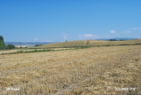
| Geography and Environment: |
| Destruction Details: The western part of the mound has been cut by the motorway and north; northeast section is being planted. (TAYEx 17.7.2002) |