|
©The Archaeological Settlements of Turkey - TAY Project
|
|
|
|
|
|
Salur Höyük |
|
|
For site maps and drawings please click on the picture...  |
For photographs please click on the photo... 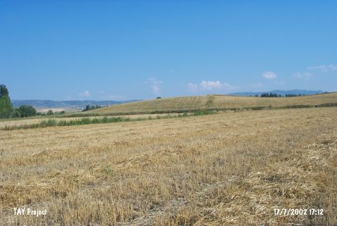 |
|
Type:
|
Mound and Cemetery |
|
Altitude:
|
575 m |
|
Region:
|
Central Anatolia |
|
Province:
|
Çorum |
|
District:
|
Merkez |
|
Village:
|
Salur |
|
Investigation Method:
|
Survey |
|
Period:
|
EBA III |
|
|
|
 |
|
| It lies on the motorway; immediate south of the secondary way going to Salur Village from the Çorum-Iskilip motorway; about 32 km west-northwest of Çorum Province. It overlooks the Kizilirmak River. It has been severely damaged. It measures 15 m in height and 100x75 m in dimensions. The surface collection carried out in 1996 by T. Sipahi and T. Yildirim yielded sherds dating from the fourth; third and second millennia BC and the Iron Age. Sections revealed traces of mud-brick walls. EBA material is very rich in variety and form. The region is also rich in flintstone reserves. To the north lies a cemetery consisting of pithos graves. According to Matthews; 10 pithos graves had been demolished by deep ploughing. A bronze razor blade; pins and amulet in golden plate collected from the surface expose that the cemetery dating from the EBA has finds identical to the cemetery of Alacahöyük. |
| Location: |
| Geography and Environment: |
| History: |
| Research and Excavation: |
| Stratigraphy: |
| Small Finds: |
| Remains: |
| Interpretation and Dating: |