| ©The Archaeological Settlements of Turkey - TAY Project | ||||||
|
|
||||||
SAK 27 Çakmak Höyük |
||||||
|
|
||||||
| Ages | Maps | Photos | ||||
| Chalcolithic |
 |
 |
||||
|
|
||||||
|
Type:
|
Mound | |||||
|
Altitude:
|
580 m | |||||
|
Diameter:
|
m- Direction: | |||||
|
|
||||||
|
Region:
|
Mediterranean | |||||
|
Province:
|
Gaziantep | |||||
|
District:
|
Nurdagi | |||||
|
Village:
|
Çakmak | |||||
|
|
||||||
|
Destruction :
|
Illicit Digging - Attention | |||||
|
|
||||||
|
TAYEx:
|
Visited - 26/8/2001 | |||||
|
|
||||||
|
Registration State:
|
Registered For detailed registration information please refer to Turkish pages. | |||||
 |
||||||
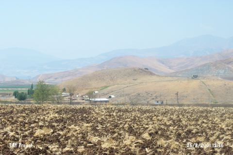
| Location: |
| Geography and Environment: |
| Destruction Details: There are pits made by illicit diggers on top of the mound [TAYEx 26.8.2001]. |