| ©The Archaeological Settlements of Turkey - TAY Project | ||||||
|
|
||||||
S 63/7 Ayngerm Yani |
||||||
|
|
||||||
| Ages | Maps | Photos | ||||
| Neolithic Chalcolithic IA |
 |
 |
||||
|
|
||||||
|
Type:
|
Mound | |||||
|
Altitude:
|
725 m | |||||
|
Diameter:
|
m- Direction: | |||||
|
|
||||||
|
Region:
|
Southeastern Anatolia | |||||
|
Province:
|
Siirt | |||||
|
District:
|
Kurtalan | |||||
|
Village:
|
Ayngerm | |||||
|
|
||||||
|
Destruction :
|
Agriculture - Contemporary Settlements | |||||
|
|
||||||
|
TAYEx:
|
Not found - | |||||
|
|
||||||
|
Registration State:
|
For detailed registration information please refer to Turkish pages. | |||||
 |
||||||
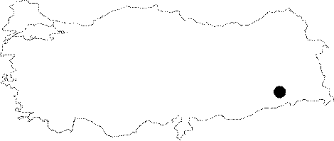
| Location: The site lies 34 km west of Siirt; 12 km west-southwest of district of Kurtalan; 500-800 km northeast of the village of Aynger/Ayngerm. One can get to the mound via Kurtalan-Besiri road taking the road to Ayngerm Village. The site is not labeled and does not bear a local name. It is usually cited as Ayngerm Höyügü in publications. The location code is S 63 / 7. |
| Geography and Environment: The 7 m high; ovoid; and shallow mound has a diameter of 125-200 m. The site lies on a dried valley bed formed by Garzan Stream. There are numerous fresh water springs and small lakes in this valley; one of which is very close to the site. The systematic survey of this mound is an appreciable piece of work conducted at a prehistoric site in the Southeastern Anatolia. |
| Destruction Details: The settlement is being damaged due to agricultural activities and contemporary settlements [TAYEx 5.7.2003]. |