|
©The Archaeological Settlements of Turkey - TAY Project
|
|
|
|
|
|
S 63/7 Ayngerm Yani |
|
|
For site maps and drawings please click on the picture... 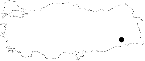 |
For photographs please click on the photo...  |
|
Type:
|
Mound |
|
Altitude:
|
725 m |
|
Region:
|
Southeastern Anatolia |
|
Province:
|
Siirt |
|
District:
|
Kurtalan |
|
Village:
|
Ayngerm |
|
Investigation Method:
|
Survey |
|
Period:
|
|
|
|
|
 |
|
| With a height of 7 m, it is 100 m long in north-south direction, and 200 m long in east-west direction. It is a deserted mound with building remains only. 100 m to west is a lake. It is located approximately 500 m northeast of S 63/6. It contains probably the plain ware belonging to the first half of the 1st Millennium BC, and a similar group of red coated, burnished and wheelmade ware (particularly seen at Nemrut, Tell Halaf's Kabara level, Amique phase O, Syro-Hittite level at Hama and Palestinian Early Iron Age II). |
| Location: The site lies 34 km west of Siirt; 12 km west-southwest of district of Kurtalan; 500-800 km northeast of the village of Aynger/Ayngerm. One can get to the mound via Kurtalan-Besiri road taking the road to Ayngerm Village. The site is not labeled and does not bear a local name. It is usually cited as Ayngerm Höyügü in publications. The location code is S 63 / 7. |
| Geography and Environment: The 7 m high; ovoid; and shallow mound has a diameter of 125-200 m. The site lies on a dried valley bed formed by Garzan Stream. There are numerous fresh water springs and small lakes in this valley; one of which is very close to the site. The systematic survey of this mound is an appreciable piece of work conducted at a prehistoric site in the Southeastern Anatolia. |
| History: |
| Research and Excavation: |
| Stratigraphy: |
| Small Finds: |
| Remains: |
| Interpretation and Dating: |