| ©The Archaeological Settlements of Turkey - TAY Project | ||||||
|
|
||||||
S 63/12 |
||||||
|
|
||||||
| Ages | Maps | Photos | ||||
| Chalcolithic |
 |
 |
||||
|
|
||||||
|
Type:
|
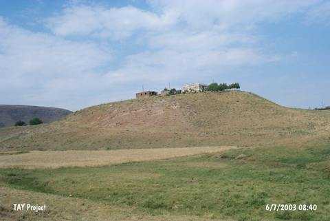
Mound | |||||
|
Altitude:
|
955 m | |||||
|
Diameter:
|
m- Direction: | |||||
|
|
||||||
|
Region:
|
Southeastern Anatolia | |||||
|
Province:
|
Siirt | |||||
|
District:
|
Kurtalan | |||||
|
Village:
|
Gürgöze | |||||
|
|
||||||
|
Destruction :
|
Illicit Digging | |||||
|
|
||||||
|
TAYEx:
|
Visited - 6/7/2003 | |||||
|
|
||||||
|
Registration State:
|
For detailed registration information please refer to Turkish pages. | |||||
 |
||||||
| Location: |
| Geography and Environment: |
| Destruction Details: The site has been damaged by contemporary settlements and illicit diggings. There is a rectangular pit measuring 3.2x2.4 m and 2 m deep on the western skirt of the mound. Villagers told that this pit is being used as septic tank [TAYEx 6.7.2003]. |