| ©The Archaeological Settlements of Turkey - TAY Project | ||||||
|
|
||||||
S 62/3 |
||||||
|
|
||||||
| Ages | Maps | Photos | ||||
| Chalcolithic IA |
 |
 |
||||
|
|
||||||
|
Type:
|
Mound | |||||
|
Altitude:
|
750 m | |||||
|
Diameter:
|
m- Direction: | |||||
|
|
||||||
|
Region:
|
Southeastern Anatolia | |||||
|
Province:
|
Siirt | |||||
|
District:
|
Kurtalan | |||||
|
Village:
|
Bozhöyük | |||||
|
|
||||||
|
Destruction :
|
Agriculture - Contemporary Settlements | |||||
|
|
||||||
|
TAYEx:
|
Visited - 5/7/2003 | |||||
|
|
||||||
|
Registration State:
|
For detailed registration information please refer to Turkish pages. | |||||
 |
||||||
| Location: |
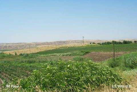
| Geography and Environment: |
| Destruction Details: The settlement had been damaged due to agricultural activities. Electricity and telephone poles were located on the top of it [TAYEx 5.7.2003]. |