|
©The Archaeological Settlements of Turkey - TAY Project
|
|
|
|
|
|
S 62/3 |
|
|
For site maps and drawings please click on the picture...  |
For photographs please click on the photo... 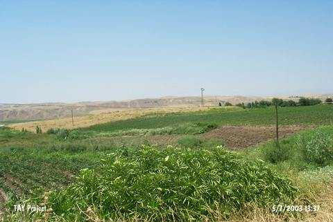 |
|
Type:
|
Mound |
|
Altitude:
|
750 m |
|
Region:
|
Southeastern Anatolia |
|
Province:
|
Siirt |
|
District:
|
Kurtalan |
|
Village:
|
Bozhöyük |
|
Investigation Method:
|
Survey |
|
Period:
|
Middle |
|
|
|
 |
|
| The mound lies within Siirt province; on a terrace 200 m east of Garzan stream; 4.5 km east of the village of Bozhöyük. Gözpinar-Bozhöyük road passes east-southeast of the site. This 3-4 m high mound with a diameter of 60-75 m was discovered during the 1963 joint survey project conducted by the University of Istanbul and Chicago Oriental Institute. The earliest level are dated to Halaf-Ubaid Transition Period. |
| Location: |
| Geography and Environment: |
| History: |
| Research and Excavation: |
| Stratigraphy: |
| Small Finds: |
| Remains: |
| Interpretation and Dating: |