| ©The Archaeological Settlements of Turkey - TAY Project | ||||||
|
|
||||||
Pinarlar Pulur |
||||||
|
|
||||||
| Ages | Maps | Photos | ||||
| Palaeolithic/Epipalaeolithic |
 |
 |
||||
|
|
||||||
|
Type:
|
Habitation Site / Workshop | |||||
|
Altitude:
|
m | |||||
|
Diameter:
|
m- Direction: | |||||
|
|
||||||
|
Region:
|
Eastern Anatolia | |||||
|
Province:
|
Tunceli | |||||
|
District:
|
Pertek | |||||
|
Village:
|
Pinarlar | |||||
|
|
||||||
|
|
||||||
|
|
||||||
|
TAYEx:
|
Not visited - 15/7/2003 | |||||
|
|
||||||
|
Registration State:
|
For detailed registration information please refer to Turkish pages. | |||||
 |
||||||
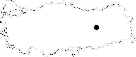
| Location: This site is located south-southwest of the city of Tunceli; approximately 13 km east-northeast of the town of Pertek; in the village of Pinarlar; south of the Elazig-Tunceli highway on the southern flanks of a small höyük (mound) known as Pulur Çesmesi. |
| Geography and Environment: The Palaeolithic chipped stone artifacts were found accidentally while surveying the mound site of Pulur Çesmesi. The area is rich in water sources. |
| Destruction Details: |