|
©The Archaeological Settlements of Turkey - TAY Project
|
|
|
|
|
|
Pinarlar Pulur |
|
|
For site maps and drawings please click on the picture... 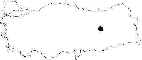 |
For photographs please click on the photo...  |
|
Type:
|
Habitation Site / Workshop |
|
Altitude:
|
m |
|
Region:
|
Eastern Anatolia |
|
Province:
|
Tunceli |
|
District:
|
Pertek |
|
Village:
|
Pinarlar |
|
Investigation Method:
|
Survey |
|
Period:
|
AP OP |
|
|
|
 |
|
| Location: This site is located south-southwest of the city of Tunceli; approximately 13 km east-northeast of the town of Pertek; in the village of Pinarlar; south of the Elazig-Tunceli highway on the southern flanks of a small höyük (mound) known as Pulur Çesmesi. |
| Geography and Environment: The Palaeolithic chipped stone artifacts were found accidentally while surveying the mound site of Pulur Çesmesi. The area is rich in water sources. |
| History: |
| Research and Excavation: The Palaeolithic component of the mound was discovered in 1971 during a weekend excursion/surface survey carried out by the crew of the Altinova (Elazig) Tepecik excavations led by Ufuk Esin. Kökten surveyed the area around Pulur Çesmesi Höyük but does not report finding an open-air Palaeolithic site [Kökten 1974:5; fig.11/1]. |
| Stratigraphy: |
| Small Finds: Ufuk Esin assigns the chipped stone finds from this site to the Middle Palaeolithic. The finds have not yet been published in detail. |
| Remains: |
| Interpretation and Dating: |