| ©The Archaeological Settlements of Turkey - TAY Project | ||||||
|
|
||||||
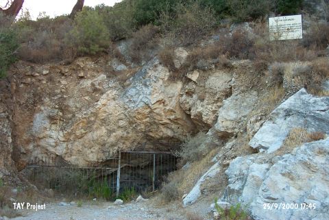
Peynirçiçegi Magarasi |
||||||
|
|
||||||
| Ages | Maps | Photos | ||||
| Chalcolithic |
 |
 |
||||
|
|
||||||
|
Type:
|
Cave | |||||
|
Altitude:
|
56 m | |||||
|
Diameter:
|
m- Direction: | |||||
|
|
||||||
|
Region:
|
Aegean | |||||
|
Province:
|
Mugla | |||||
|
District:
|
Bodrum | |||||
|
Village:
|
Gündogan | |||||
|
|
||||||
|
|
||||||
|
|
||||||
|
TAYEx:
|
Visited - 25/9/2000 | |||||
|
|
||||||
|
Registration State:
|
Registered For detailed registration information please refer to Turkish pages. | |||||
 |
||||||
| Location: It is located on a rocky ridge 200 m south of the junction on Gölköy-Yalikavak motorway separating to Gündogan territory of Bodrum District of Mugla. |
| Geography and Environment: |
| Destruction Details: |