| ©The Archaeological Settlements of Turkey - TAY Project | ||||||
|
|
||||||
Pascu Höyük |
||||||
|
|
||||||
| Ages | Maps | Photos | ||||
| Neolithic EBA |
 |
 |
||||
|
|
||||||
|
Type:
|
Mound | |||||
|
Altitude:
|
90 m | |||||
|
Diameter:
|
m- Direction: | |||||
|
|
||||||
|
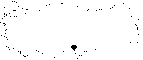
Region:
|
Mediterranean | |||||
|
Province:
|
Osmaniye | |||||
|
District:
|
Kadirli | |||||
|
Village:
|
Tatarli | |||||
|
|
||||||
|
Destruction :
|
Agriculture | |||||
|
|
||||||
|
TAYEx:
|
Visited - 31/7/2001 | |||||
|
|
||||||
|
Registration State:
|
Registered For detailed registration information please refer to Turkish pages. | |||||
 |
||||||
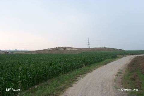
| Location: This site lies east of the Ceyhan-Kadirli highway; 6.2 km southwest of Tatarli Village; 20 km northeast of the town of Ceyhan; northeast of the city of Adana. It is locally known as Ikiz Tepe (Twin Hills). |
| Geography and Environment: The site lies along a stream bed of now completely dried stream which used to empty into the Ceyhan River. It is a medium sized mound 10 m in height. |
| Destruction Details: The mound appears to be consisting of two hills because of the dirt road passing across in east-west direction. There is a section at the leveled western part of the mound [TAYEx 31.7.2001]. |