| ©The Archaeological Settlements of Turkey - TAY Project | ||||||
|
|
||||||
Parganli - Kerpe Arasi |
||||||
|
|
||||||
| Ages | Maps | Photos | ||||
| Palaeolithic/Epipalaeolithic |
 |
 |
||||
|
|
||||||
|
Type:
|
Single Findspot | |||||
|
Altitude:
|
0 m | |||||
|
Diameter:
|
m- Direction: | |||||
|
|
||||||
|
Region:
|
Marmara | |||||
|
Province:
|
Kocaeli | |||||
|
District:
|
Kandira | |||||
|
Village:
|
Bagirganli | |||||
|
|
||||||
|
|
||||||
|
|
||||||
|
TAYEx:
|
Visited - 24/11/2000 | |||||
|
|
||||||
|
Registration State:
|
For detailed registration information please refer to Turkish pages. | |||||
 |
||||||
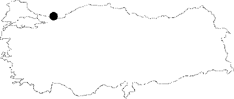
| Location: Artifacts have been found north of Izmit; and northeast of the town of Kandira on the Black Sea coast; near the village of Parganli (also known as Bagirganli); in the Kerpe Region; and by the Sarisu Stream east of the village of Çalköy. |
| Geography and Environment: This forested region is rich in streams which have given it an undulating topography. Kuru Dere; one of many streamlets in the area; flows east of the village of Pangarli (where it is referred to as the Pangarli Stream) before it empties into the Kerpe Bay of the Black Sea. The other streamlets include the Baliklarbasi and the Dogançay Streams; which feed the Sarisu River and the Düzler Stream; which in turn flows south of the town of Kerpe. Due to the contemporary settlements; sand dune and alluvium activities; it is difficult to determine the exact location of the findspot. |
| Destruction Details: |