|
©The Archaeological Settlements of Turkey - TAY Project
|
|
|
|
|
|
Parganli - Kerpe Arasi |
|
|
For site maps and drawings please click on the picture... 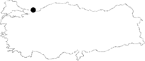 |
For photographs please click on the photo...  |
|
Type:
|
Single Findspot |
|
Altitude:
|
0 m |
|
Region:
|
Marmara |
|
Province:
|
Kocaeli |
|
District:
|
Kandira |
|
Village:
|
Bagirganli |
|
Investigation Method:
|
Survey |
|
Period:
|
OP |
|
|
|
 |
|
| Location: Artifacts have been found north of Izmit; and northeast of the town of Kandira on the Black Sea coast; near the village of Parganli (also known as Bagirganli); in the Kerpe Region; and by the Sarisu Stream east of the village of Çalköy. |
| Geography and Environment: This forested region is rich in streams which have given it an undulating topography. Kuru Dere; one of many streamlets in the area; flows east of the village of Pangarli (where it is referred to as the Pangarli Stream) before it empties into the Kerpe Bay of the Black Sea. The other streamlets include the Baliklarbasi and the Dogançay Streams; which feed the Sarisu River and the Düzler Stream; which in turn flows south of the town of Kerpe. Due to the contemporary settlements; sand dune and alluvium activities; it is difficult to determine the exact location of the findspot. |
| History: |
| Research and Excavation: The scattered artifact finds in the area between the Bosphorus and the village of Cebeci; such as those found in Pangarli at the mouth of the Sarisu Stream and at Kerpe need to be classified together with the finds from the Domali and the Kefken-Cebeci Regions (see the sites listed above). Along with Özdogan; who surveyed the area in 1984; Faruk Ertunç; an amateur archaeologist; conducted systematic regional surveys; although he has not published his results. |
| Stratigraphy: |
| Small Finds: Although the characteristics of the tools are not described in great depth; we do have information on their proveniences. Ertunç names several artifact scatters in this region where he collected flint finds. The first artifact scatter known as Parganli or Bagirganli; close to the hills near these villages; in the graveyard and by the village road yielded rough flakes and incipient cores. Ertunç reported a dense collection of chipped stone artifacts in the accumulated deposits of the Parganli River delta; before it empties into the Black Sea. He believes that the tools originated from the artifact scatters on the hills. The second artifact scatter; Sarisu; which lies on both sides of the Sarisu Stream; yielded abraded and unfinished tools. Many flakes found on the hills and dunes near Sarisu Bay at the Black Sea have been abraded by erosion. M. Özdogan; who surveyed the region in 1984 assigns the artifacts from the mouth of the Sarisu River to the Middle Palaeolithic Period [Özdogan 1986a:411]. The third artifact of scatter; Kerpe is named after the town it lies in. The name Kerpe comes from the greek word "karfi"; literally tendril [Bijiskan 1969:19]. Özdogan also notes that the western part of Kerpe Point yielded Middle Palaeolithic finds [Özdogan 1986a:411]. The forested area west of Kerpe; where Ertunç found an obsidian scraper; is abundant in cores and flakes. It is possible to find many tools in the alluvial soil at the delta of the Düzler Stream; before it empties into the Kerpe Bay. During an excursion the editors discovered flake nodules in the Kerpe Region. The Palaeolithic inhabitants of the area must have made use of this raw material. |
| Remains: |
| Interpretation and Dating: |