| ©The Archaeological Settlements of Turkey - TAY Project | ||||||
|
|
||||||
Ovaköy 1 |
||||||
|
|
||||||
| Ages | Maps | Photos | ||||
| Chalcolithic |
 |
 |
||||
|
|
||||||
|
Type:
|
Mound | |||||
|
Altitude:
|
122 m | |||||
|
Diameter:
|
m- Direction: | |||||
|
|
||||||
|
Region:
|
Marmara | |||||
|
Province:
|
Balikesir | |||||
|
District:
|
Altieylül | |||||
|
Village:
|
Ovaköy | |||||
|
|
||||||
|
Destruction :
|
Agriculture - Highways, roads, bridges etc. | |||||
|
|
||||||
|
TAYEx:
|
Visited - 28/6/2000 | |||||
|
|
||||||
|
Registration State:
|
For detailed registration information please refer to Turkish pages. | |||||
 |
||||||
| Location: |
| Geography and Environment: |
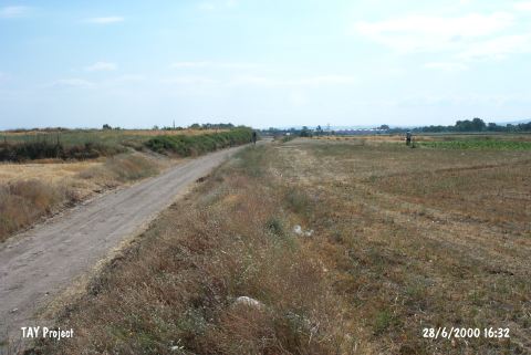
| Destruction Details: The road that passes over the northern section has cut a large part of the mound. The northern and eastern sections are leveled for agriculture [TAYEx 28.6.2000]. |