|
©The Archaeological Settlements of Turkey - TAY Project
|
|
|
|
|
|
Ovaköy 1 |
|
|
For site maps and drawings please click on the picture...  |
For photographs please click on the photo... 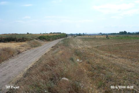 |
|
Type:
|
Mound |
|
Altitude:
|
122 m |
|
Region:
|
Marmara |
|
Province:
|
Balikesir |
|
District:
|
Altieylül |
|
Village:
|
Ovaköy |
|
Investigation Method:
|
Survey |
|
Period:
|
Late |
|
|
|
 |
|
| The mound lies southeast of Balikesir; 500 m northeast of the village; and across Ovaköy stream. The village road passes at the north side of the broad and small mound that is 3 m in height and 80 m in diameter. To the west of it flow the Ovaköy and Üzümlü streams. It is surveyed in 1959 by D. French. Late Chalcolithic Age sherds similar to those known from Besiktepe are collected from the surface. It is stated that the mound is an ideal site for exposing the Late Chalcolithic Age traditions of the region; since this cultural phase is the uppermost level convenient for easy excavation. It was visited during the survey conducted by D. Yalçikli and his team in 2015 [Yalçikli 2017:419]. |
| Location: |
| Geography and Environment: |
| History: |
| Research and Excavation: |
| Stratigraphy: |
| Small Finds: |
| Remains: |
| Interpretation and Dating: |