| ©The Archaeological Settlements of Turkey - TAY Project | ||||||
|
|
||||||
Akçapinar |
||||||
|
|
||||||
| Ages | Maps | Photos | ||||
| EBA |
 |
 |
||||
|
|
||||||
|
Type:
|
Mound | |||||
|
Altitude:
|
1225 m | |||||
|
Diameter:
|
196 m- Direction: NNE-SSW | |||||
|
|
||||||
|
Region:
|
Aegean | |||||
|
Province:
|
Afyonkarahisar | |||||
|
District:
|
Sinanpasa | |||||
|
Village:
|
Nuh | |||||
|
|
||||||
|
Destruction :
|
Agriculture | |||||
|
|
||||||
|
TAYEx:
|
Visited - 11/7/2004 | |||||
|
|
||||||
|
Registration State:
|
For detailed registration information please refer to Turkish pages. | |||||
 |
||||||
| Location: |
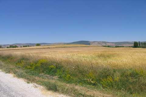
| Geography and Environment: |
| Destruction Details: The eastern skirt of the mound was plowed and cut in order to make way for a field. Its upper part is also being planted [TAYEx 11.7.2004]. |