|
©The Archaeological Settlements of Turkey - TAY Project
|
|
|
|
|
|
Akçapinar |
|
|
For site maps and drawings please click on the picture...  |
For photographs please click on the photo... 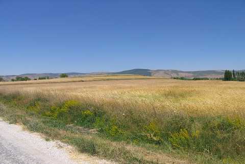 |
|
Type:
|
Mound |
|
Altitude:
|
1225 m |
|
Region:
|
Aegean |
|
Province:
|
Afyonkarahisar |
|
District:
|
Sinanpasa |
|
Village:
|
Nuh |
|
Investigation Method:
|
Survey |
|
Period:
|
EBA II |
|
|
|
 |
|
| It lies 4 km west of Nuhköy Town; 24 km southwest of Afyonkarahisar Province. It is to the north of the road that connects Nuh to the Afyon-Antalya motorway. It is close to the village of Çigiltepe Village which is located to the south-southwest. It is situated on a small plain. It is identified as an EBA II settlement by J. Mellaart and named as Nuhköy / Akpinar. |
| Location: |
| Geography and Environment: |
| History: |
| Research and Excavation: |
| Stratigraphy: |
| Small Finds: |
| Remains: |
| Interpretation and Dating: |