| ©The Archaeological Settlements of Turkey - TAY Project | ||||||
|
|
||||||
Asartepe |
||||||
|
|
||||||
| Ages | Maps | Photos | ||||
| Chalcolithic EBA |
 |
 |
||||
|
|
||||||
|
Type:
|
Mound | |||||
|
Altitude:
|
25 m | |||||
|
Diameter:
|
m- Direction: | |||||
|
|
||||||
|
Region:
|
Marmara | |||||
|
Province:
|
Çanakkale | |||||
|
District:
|
Gelibolu | |||||
|
Village:
|
Ilgardere | |||||
|
|
||||||
|
Destruction :
|
Other | |||||
|
|
||||||
|
TAYEx:
|
Visited - 20/6/2000 | |||||
|
|
||||||
|
Registration State:
|
Registered For detailed registration information please refer to Turkish pages. | |||||
 |
||||||
| Location: |
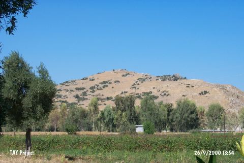
| Geography and Environment: |
| Destruction Details: The eastern and northeastern slopes facing the road have run down with erosion and the fill soil of the road was dropped in this area [TAYEx 20.6.2000]. |