|
©The Archaeological Settlements of Turkey - TAY Project
|
|
|
|
|
|
Asartepe |
|
|
For site maps and drawings please click on the picture...  |
For photographs please click on the photo... 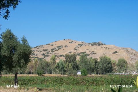 |
|
Type:
|
Mound |
|
Altitude:
|
25 m |
|
Region:
|
Marmara |
|
Province:
|
Çanakkale |
|
District:
|
Gelibolu |
|
Village:
|
Ilgardere |
|
Investigation Method:
|
Survey |
|
Period:
|
Late |
|
|
|
 |
|
| The mound lies northeast of Çanakkale; east-northeast of Eceabad; 5 km southeast of Ilgardere village. It is located on a naturel elevation on the shore and on the east bank of Asartepe stream. The site was slightly damaged during the construction of a highway. In 1982; little amount of Late Chalcolithic Age sherds were collected from the surface by M. Özdogan who claims that they resemble Kumtepe Ib type of pottery. In addition; Troia I-V and VI pottery besides Hellenistic and Roman pottery were found on the surface. Code G 2/7. It takes place in the registered archaeological sites list prepared by Ministry of Culture and Tourism. |
| Location: |
| Geography and Environment: |
| History: |
| Research and Excavation: |
| Stratigraphy: |
| Small Finds: |
| Remains: |
| Interpretation and Dating: |