| ©The Archaeological Settlements of Turkey - TAY Project | ||||||
|
|
||||||
Misaksin / Yagmurlu |
||||||
|
|
||||||
| Ages | Maps | Photos | ||||
| EBA |
 |
 |
||||
|
|
||||||
|
Type:
|
Mound | |||||
|
Altitude:
|
1400 m | |||||
|
Diameter:
|
210 m- Direction: N-S | |||||
|
|
||||||
|
Region:
|
Eastern Anatolia | |||||
|
Province:
|
Bitlis | |||||
|
District:
|
Merkez | |||||
|
Village:
|
Degirmenköy | |||||
|
|
||||||
|
Destruction :
|
Illicit Digging - Contemporary Settlements | |||||
|
|
||||||
|
TAYEx:
|
Visited - 11/7/2003 | |||||
|
|
||||||
|
Registration State:
|
For detailed registration information please refer to Turkish pages. | |||||
 |
||||||
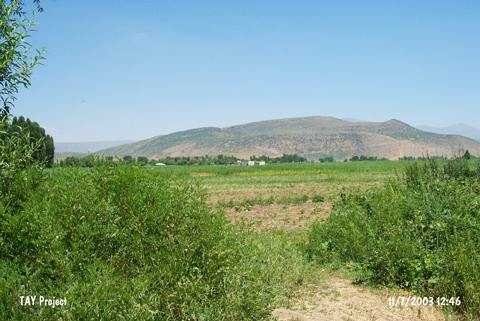
| Location: |
| Geography and Environment: |
| Destruction Details: The site has been damaged due to illicit digging and contemporary settlement. A dirt road starts from skirt and reaches top hill. Soil has been taken from its northwest skirt and there are several pits on the mound [TAYEx 11.7.2003]. |