|
©The Archaeological Settlements of Turkey - TAY Project
|
|
|
|
|
|
Misaksin / Yagmurlu |
|
|
For site maps and drawings please click on the picture...  |
For photographs please click on the photo... 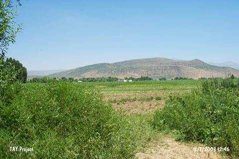 |
|
Type:
|
Mound |
|
Altitude:
|
1400 m |
|
Region:
|
Eastern Anatolia |
|
Province:
|
Bitlis |
|
District:
|
Merkez |
|
Village:
|
Degirmenköy |
|
Investigation Method:
|
Survey |
|
Period:
|
EBA III |
|
|
|
 |
|
| It lies on the southeastern end of the Mus Plain; northern bank of the Karasu Stream; 1 km east of Degirmenköy (Misaksen/Misaksin) Village of Çukur Sub-District; north of Bitlis Province. It measures 8 m in height and 100x75 m in dimensions. Sherds of the painting decorated ware dating from the EBA III were recovered. It was also identified as an EBA settlement during a survey conducted by Rothman in the Mus Plain. It is referred to as Misaksin with its previous name and Yagmurlu with its recent name. |
| Location: |
| Geography and Environment: |
| History: |
| Research and Excavation: |
| Stratigraphy: |
| Small Finds: |
| Remains: |
| Interpretation and Dating: |