| ©The Archaeological Settlements of Turkey - TAY Project | ||||||
|
|
||||||
Miroglu |
||||||
|
|
||||||
| Ages | Maps | Photos | ||||
| Palaeolithic/Epipalaeolithic |
 |
 |
||||
|
|
||||||
|
Type:
|
Habitation Site / Workshop | |||||
|
Altitude:
|
m | |||||
|
Diameter:
|
m- Direction: | |||||
|
|
||||||
|
Region:
|
Southeastern Anatolia | |||||
|
Province:
|
Adiyaman | |||||
|
District:
|
Merkez | |||||
|
Village:
|
Miroglu | |||||
|
|
||||||
|
Destruction :
|
Dams | |||||
|
|
||||||
|
TAYEx:
|
Not visited - 29/8/2001 | |||||
|
|
||||||
|
Registration State:
|
Registered For detailed registration information please refer to Turkish pages. | |||||
 |
||||||
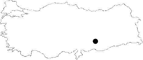
| Location: This site lies 18.5 km southeast of the city of Adiyaman; approximately 500 km south of the village of Miroglu; near the village of Kilisik; on the Kalburcu Stream and 500 m northeast of the Arif Hoca Windmill. The site has since been completely destroyed by the dam lake. The survey code of the site is T 50 / 4. |
| Geography and Environment: Palaeolithic tools were found among post-classical ruins on a gravel terrace by the Kalburcu Stream. The site is known as Miroglu. It has been split into two by a gully. The discovery of these finds was coincidental. |
| Destruction Details: The site is flooded by dam reservoir today [TAYEx 29.8.2001]. |