|
©The Archaeological Settlements of Turkey - TAY Project
|
|
|
|
|
|
Miroglu |
|
|
For site maps and drawings please click on the picture... 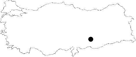 |
For photographs please click on the photo...  |
|
Type:
|
Habitation Site / Workshop |
|
Altitude:
|
m |
|
Region:
|
Southeastern Anatolia |
|
Province:
|
Adiyaman |
|
District:
|
Merkez |
|
Village:
|
Miroglu |
|
Investigation Method:
|
Survey |
|
Period:
|
ÜP |
|
|
|
 |
|
| Location: This site lies 18.5 km southeast of the city of Adiyaman; approximately 500 km south of the village of Miroglu; near the village of Kilisik; on the Kalburcu Stream and 500 m northeast of the Arif Hoca Windmill. The site has since been completely destroyed by the dam lake. The survey code of the site is T 50 / 4. |
| Geography and Environment: Palaeolithic tools were found among post-classical ruins on a gravel terrace by the Kalburcu Stream. The site is known as Miroglu. It has been split into two by a gully. The discovery of these finds was coincidental. |
| History: |
| Research and Excavation: The tools were discovered by M. Özdogan and his crew during their 1977 survey of the Lower Euphrates Basin (for more information on this survey see other sites in the Adiyaman and Sanliurfa regions). It takes place in the registered archaeological sites list prepared by Ministry of Culture and Tourism. |
| Stratigraphy: |
| Small Finds: The tools; which include large flake scrapers and rounded scrapers; have old patinas and are assigned to the Upper Palaeolithic Period. |
| Remains: |
| Interpretation and Dating: |