| ©The Archaeological Settlements of Turkey - TAY Project | ||||||
|
|
||||||
Adir Höyük ve Kale |
||||||
|
|
||||||
| Ages | Maps | Photos | ||||
| EBA IA |
 |
 |
||||
|
|
||||||
|
Type:
|
Mound | |||||
|
Altitude:
|
1680 m | |||||
|
Diameter:
|
m- Direction: | |||||
|
|
||||||
|
Region:
|
Eastern Anatolia | |||||
|
Province:
|
Van | |||||
|
District:
|
Merkez | |||||
|
Village:
|
Yayliyaka | |||||
|
|
||||||
|
Destruction :
|
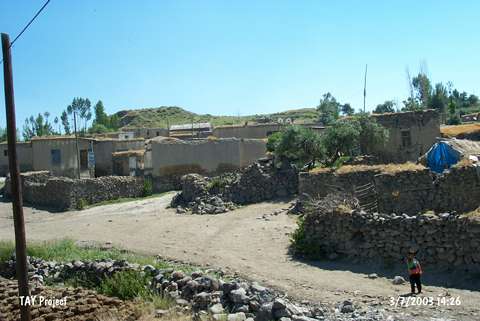
Illicit Digging - Contemporary Settlements | |||||
|
|
||||||
|
TAYEx:
|
Visited - 3/7/2003 | |||||
|
|
||||||
|
Registration State:
|
For detailed registration information please refer to Turkish pages. | |||||
 |
||||||
| Location: |
| Geography and Environment: |
| Destruction Details: Traces of illicit diggings were observed at the settlement and it is also being damaged due to contemporary settlements [TAYEx 3.7.2003]. |