| ©The Archaeological Settlements of Turkey - TAY Project | ||||||
|
|
||||||
Arpali 2 |
||||||
|
|
||||||
| Ages | Maps | Photos | ||||
| Neolithic Chalcolithic EBA |
 |
 |
||||
|
|
||||||
|
Type:
|
Mound | |||||
|
Altitude:
|
100 m | |||||
|
Diameter:
|
m- Direction: | |||||
|
|
||||||
|
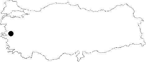
Region:
|
Aegean | |||||
|
Province:
|
Manisa | |||||
|
District:
|
Saruhanli | |||||
|
Village:
|
Burhaniye | |||||
|
|
||||||
|
|
||||||
|
|
||||||
|
TAYEx:
|
Not found - 12/9/2000 | |||||
|
|
||||||
|
Registration State:
|
For detailed registration information please refer to Turkish pages. | |||||
 |
||||||
| Location: This site is northeast of the city of Manisa and the town of Halitpasa. It lies 2 km south of the village of Burhaniye (Arpali); which used to be known as Arpali. It is possible to get to the mound via the Manisa-Akhisar highway. |
| Geography and Environment: There are two Arpali mounds lying side by side on a plain. The dimension of the northern mound is 50 m and its height is 1 m while the larger southern mound is 3 m high and has an 80 m diameter. Both mounds and the surrounding regions have been plowed and are currently under cultivation. There are no water sources nearby. |
| Destruction Details: |